You have to be me to stumble into this kind of adventure. And you have to be in the Berkshires.
It was a Saturday last May, and the sun came out. It’s New England spring here, days of rain with glimpses of clear sky. The rain can have an edge of frost even in May, but the days are warming, and in the last week every leaf in the hills has unrolled.
I remember once talking with a poet from New York who had come up here on a residency, and she said she had never seen spring come the way it arrives in the country. Weeks of slow warming and twigs slowly tensing into bud, and suddenly it releases — the leaf-buds break and the hills are green up to their knees and every fruit tree is blooming all at once.
The day was mild and breezy and bright, even warm in the sun, and I decided to take a walk at the Mass Audubon sanctuary in Lenox.
It begins on a bench on the boardwalk along the pond. Pleasant Valley’s bird sanctuary sits at the foot of Lenox Mountain, protecting beaver ponds and wetlands, streams and forest on the eastern slope. The longest and steepest trails climb diagonally up the mountain, northwest to the summit.
I took the ledges trail, up through the maple trees and glacial erratics. The map marks it ‘very steep,’ and at first I was tacking up switchbacks that climbed just enough to keep me warm. The trail is marked every 20 to 40 feet, and needs to be, and the first time it headed straight up a rock-face I grinned at the map. It’s not real climbing, as my sister and brother-in-law would tell you, but I was glad to have my hands free.
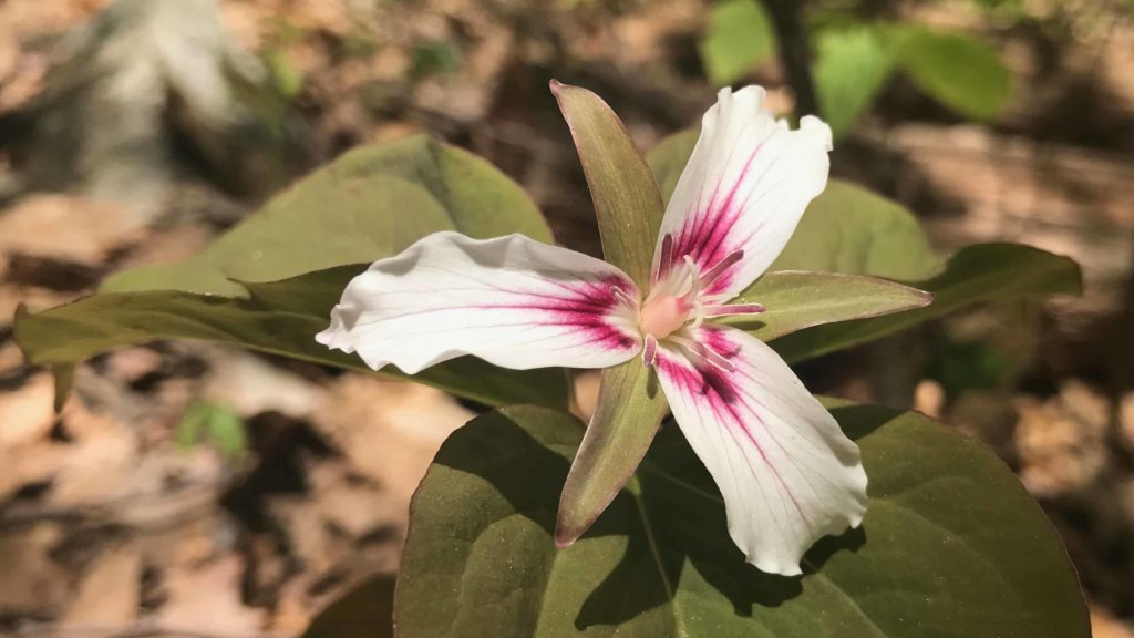
The ledges trail crosses several east-west trails as it climbs. It pauses at an overlook before the last scramble to the top. The maple hardwoods give way to beach saplings and red-and-white trilliums.
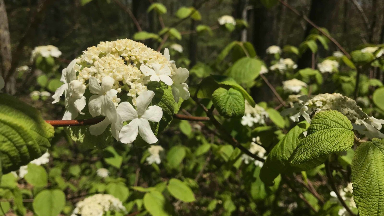
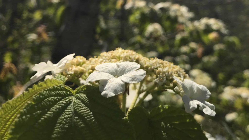
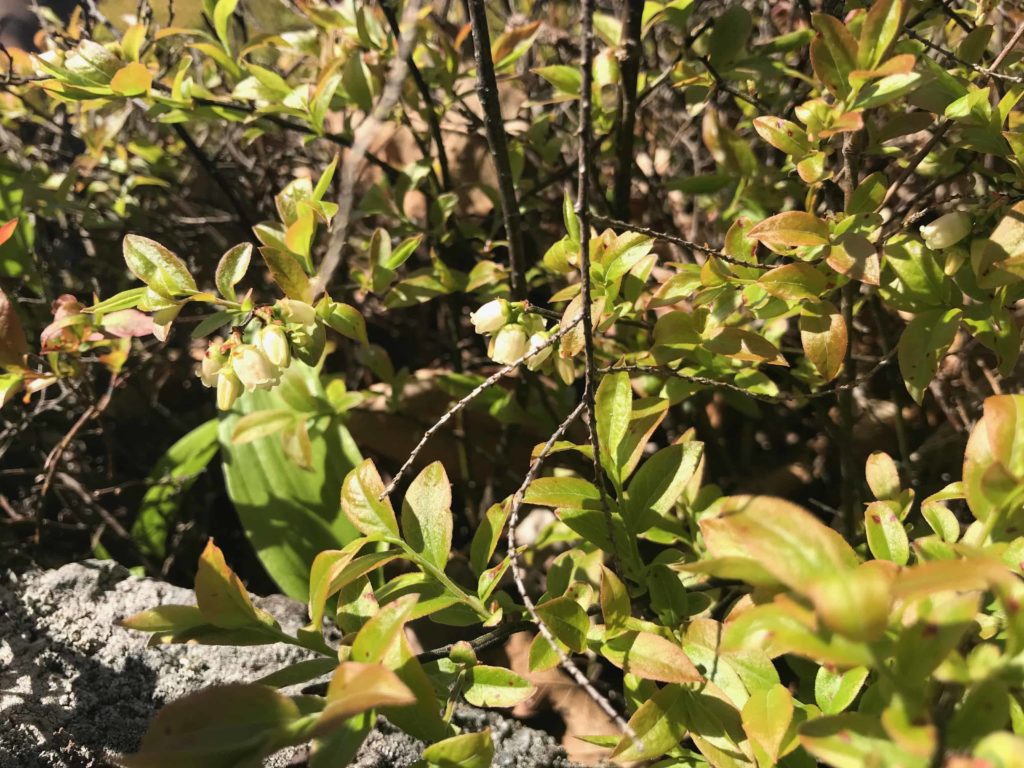
This high up the beeches have only just cracked their leaves open. They are still new, young spring green, and some are still shaggy with soft fragments of catkins and the coverings of buds. Spice bushes grow thickly in sunny dells, and every one is in full bloom in clusters of white flowers.
The trail dodges between them and stands of hemlock trees as it climbs to the top of the ridge, down a gully and up a last rocky outpost to the summit …
And it’s an anti-climax, though the view over the Lenox reservoir looks clear to high blue ridges on the horizon. It turns out the reason for the view and the clear space here on the summit is that the trail climbs to a cell tower.
But it has a bench and a view to soak in. I sat in the sun and wondered whether the water below was the Lenox reservoir, and whether the tall blue ridge on the horizon might be the Adirondacks. A hawk soared by, gliding fast on a current of air. A red-tail maybe.
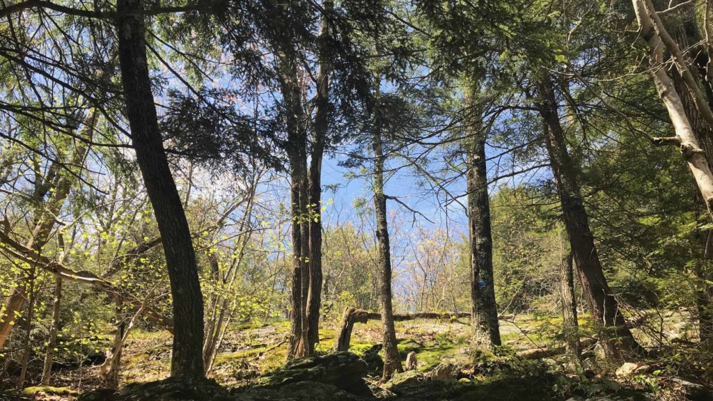
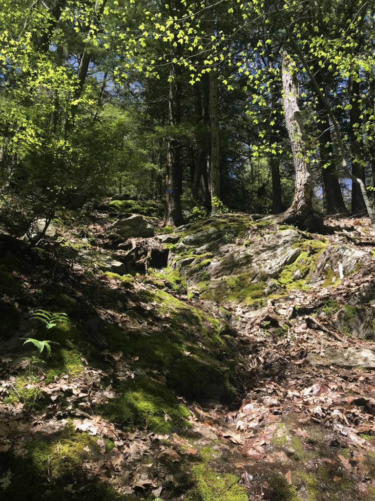
The Ledges Trail at Pleasant Valley Sanctuary climbs Lenox Mountain, sometimes steeply.
I pulled the paper map out of my pocket again. The Sanctuary has two trails up to the summit, and I wanted to walk down the way I hadn’t come up, on the Overbrook trail. On this bench I was sitting near the head of a clear trail, and I started back that way, down the hummock of rock and along the ridge, though the hemlock trees.
This trail was not marked every few feet, but it was clearly a maintained trail and it ran straight. I saw the marking tape people use when they’re planning to come back and paint new markings. But I was looking for the sanctuary’s yellow circles, and I was beginning to think I should turn around, when the trail came out onto another cobble.
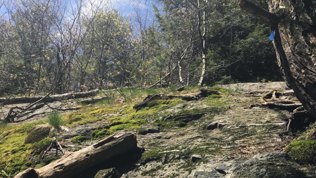
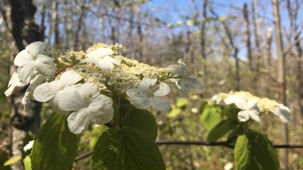
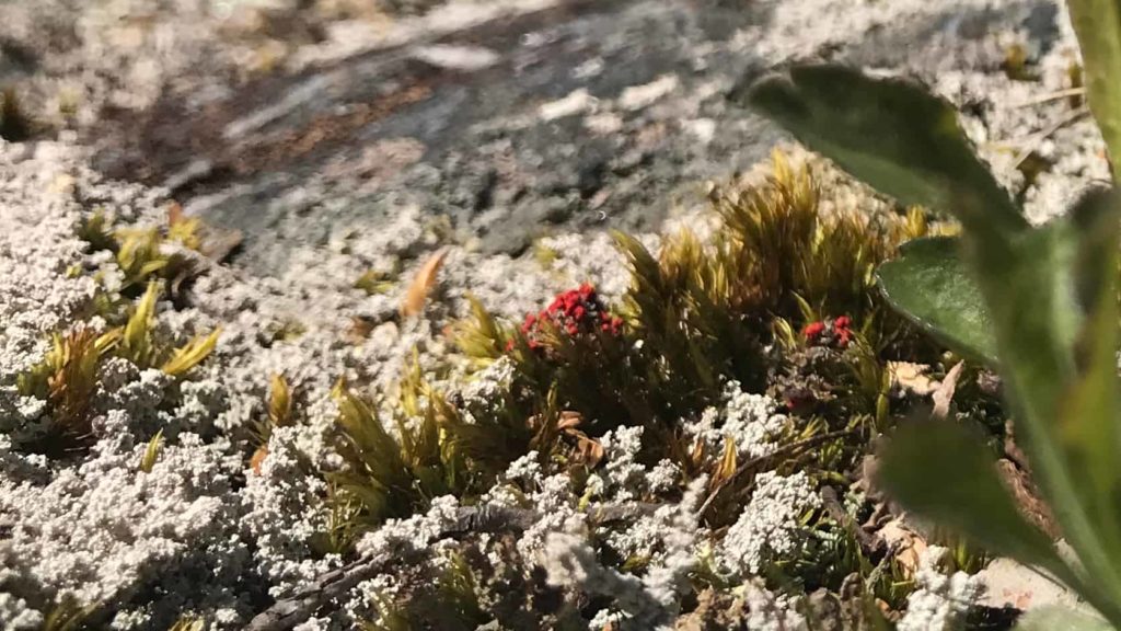
This one felt like the real thing — a natural rocky outcrop with sheep’s laurel and mosses in soft shades of green and gold. A baby shad bush was growing out of a cleft, and it was in full blow. I sat down in the sun and looked down at the lake in the valley. In the scrub, tiny lichen grew with bright red pinpricks of color. My mother calls them British Soldiers or matchsticks. We used to see them in the woods at the end of the street where I grew up, where a local botanist had encouraged a natural rock garden.
I lay back against the rock for awhile. It had been a long week, and it was good to feel solid earth and sunlight. If this was the end of the trail, or if I’d followed a really determined deer track, I’d turn back, but it felt like a gift.
It turned out, though, that the trail went on. I followed the rock to the right and the trees thinned out still more, and I had to be looking north, because Mount Greylock stood straight ahead. The ridge line has the unmistakeable outline of the back of a sperm whale when it comes up for air. The trail map said the summit trails had a clear view up to the peak, and here it was.
I pulled out the compass on my phone and checked my bearings. The trail map showed the sanctuary lying southeast of the summit, and if I was heading roughly the right way then I could keep on down the hill and come to the east-west trails that crossed the face of the slope.
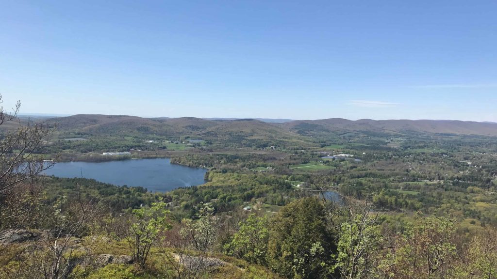
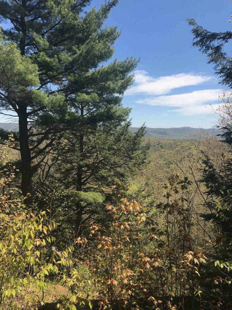
From Lenox Mountain, a hiker can look out across the valley.
The compass said I was heading east, and the trail went on looking clearly like a trail. In places it looked like a dry streambed, but maybe the Overbrook trail was exactly that. I saw painted trail markings, more tape and two worn disks marking a turn, though not the new blue and yellow ones on the trail up.
I was another 20 minutes or so onward when I started to wonder again. Spring beauty and trout lilies seemed to be growing across the trail, and my compass had swung around to point full west. But I was heading downhill, and if nothing else I’d come to the road soon, or a break in the trees, and find a way to get my bearings.
I came to a clearing thick with wild ramps and tried a GPS reading. I was, in fact, near a road. A laneway running into Swamp Road. But …
The track led out of the trees into someone’s backyard. I stepped apologetically across and headed down a driveway or a dirt road, and down onto the tarmac. I checked the gps map again. I was standing on Swamp Road.
I know this road. I’ve driven it before on the way to West Stockbridge. It’s a beautiful old double-lane highway. And it’s in Richmond.
Richmond is on the western side of the ridge.
I had climbed down the far side of the mountain.
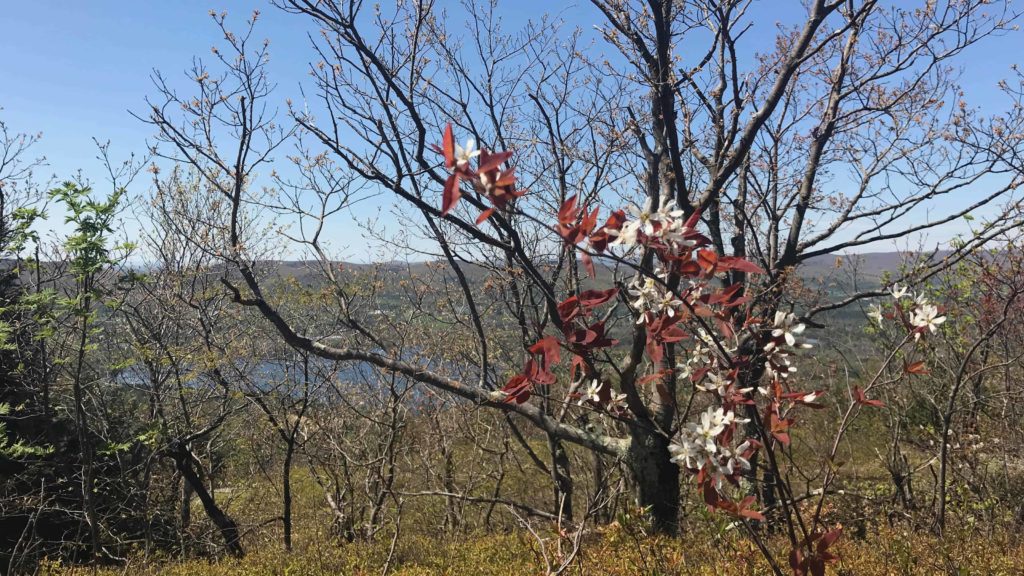
Shad bushes bloom at the summit of Lenox Mountain.
Well then. I looked at the geological formation lying peacefully between me and the bird sanctuary. The chances of following that track back seemed slim. It was 4 in the afternoon now, and I’d been walking for two or three hours. The light would be getting low before I could get to the top. And this is bear-cub season.
My phone was getting tired, but it was telling me I could walk around. Follow the tarmac south and take two or three dirt roads in a wide loop. Well, I thought, that takes care of what I’m going to do with the rest of the afternoon. And it’s a beautiful day.
So I started walking. This road veers between old New England and new weekend getaway, and a short way up I came to a definite landmark: Bartlett’s Orchards, with every apple tree in bloom. Do our apple orchards ever think of opening for visitors in blossom time? They could. Imagine walking through those trees for acres at a time.
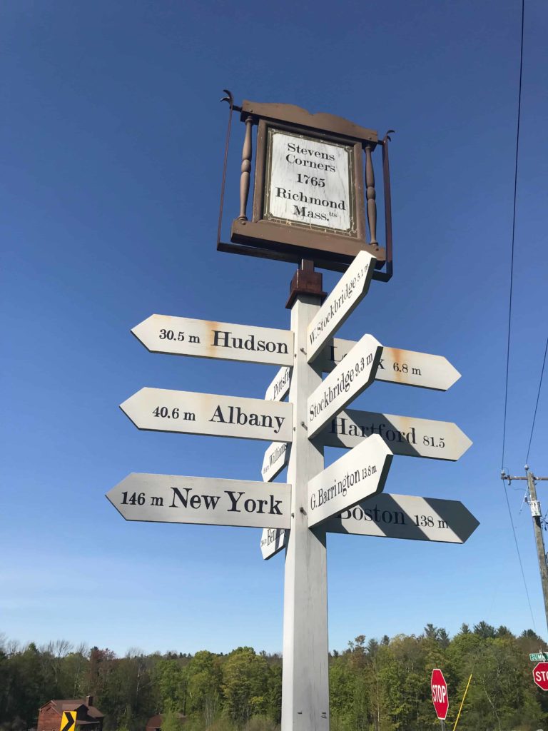
With a cold drink in hand (the teenager at the counter had no better sense of direction than I do) I headed south. The next intersection offered me a signpost … 138 miles to Boston.
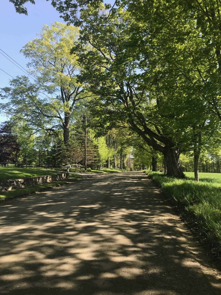
Around the corner, I turned onto the quieter stretch of East Road, past renovated farm houses, a field of blueberry bushes, a line of ancient maple trees four feet thick or more.
Another walker was coming downhill toward me. She offered a greeting on the beauty of the day, and I got up the nerve to ask her for directions. My phone battery was getting down to the dregs by now, but its map was sending me up toward the reservoir to connect with West Mountain Road. It was about 5:30, and I’d have about an hour to go, but it would be beautiful walking. If it worked.
She told me she grew up right around here. She had recently gone looking for a trail or an old road up that way where she used to walk and bike as a kid … and she wasn’t sure my phone had it right. But if I were willing to walk back with her to her car, she would give me a lift.
Her name is Theresa Clary, and it turns out she lives not far up the road, between Richmond and Pittsfield. She grew up here, walking and biking in the woods near the sanctuary, and she has moved back. She had come here today for a stroll on a beautiful back road near home. She tells me she has seen mother bears and cubs crossing it more than once. We walked back down to her car, talking about blueberries and trails that no longer exist.
Back on Swamp Road, north of the orchard, we paused at a pull-off by a bog grown into a pond. Bare trees stand out of the water, showing how far the level has risen, helped by a substantial beaver dam … and many of the trees across the pond now hold heron nests. She pointed out herons in several of them. Through her binoculars, we could see a mother preening. She says she has seen babies there and mothers feeding them.
A dark shape set off swimming across the water from our side. A beaver out for an evening ramble. Dark fur gleamed against the water.
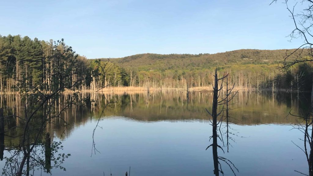
Herons next at the Tracy Brook Sanctuary off Swamp Road in Richmond.
Standing here, looking up at the ridge, Theresa and I tried to trace my wandering path. The cell tower stands near an old fire tower that I had missed, but I could see the cobble where I had rested. It looked as though I had walked north along the top of the ridge a fair way before I had scrambled down.
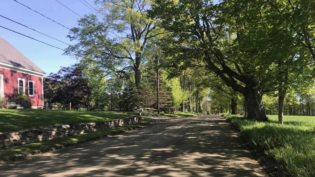
She brought me back to Pleasant Valley, looping around the mountain to the north, and telling me the geology shifts right around here from the Taconic mountains to the marble valleys of the Berkshires. We headed down the dirt road with its beautiful drop-off on the right side into trees and dappled light. She pointed out a walking trail on Dunbar Road — it looks like an old wood road now and seems to be open to hikers.
We wandered a short way past the sanctuary out of curiosity, to see whether my phone’s directions would have worked. West Mountain Road will lead to the sanctuary, but turn uphill from there, the way I would have had to come, and the road heads up on newly laid gravel to what looks like a new trail head on public land — and a very obvious gate across the road, with posted signs around the reservoir, keeping travelers out to protect the water supply.
It looks like Theresa saved me much more than an hour’s walk.
So we parted with deep thanks on my side and thoughts about biking sometime up the Ashuwilltcook. And I stopped at Chocolate Springs for an ice cream sandwich on homemade chocolate chip cookies, because I hadn’t ever had lunch.

Chocolate Springs in Lenox makes ice cream sandwiches with their own chocolate.